01
Property documentation
Create current floor plans from scans of offices, retail spaces and residential assets.

ATIS.cad · Scan-to-Plan · Beta
Detect building levels, review wall candidates and complete editable 2D plans without switching between your point-cloud platform and desktop CAD.
Drawing time depends on project complexity. Every plan must be reviewed.
Beta planned until late November 2026. Request early access.
100% browser-based
No desktop CAD installation
5 controlled steps
From source cloud to reviewed plan
PDF · DXF · DWG
Ready for handover or further editing
From scan to usable plan
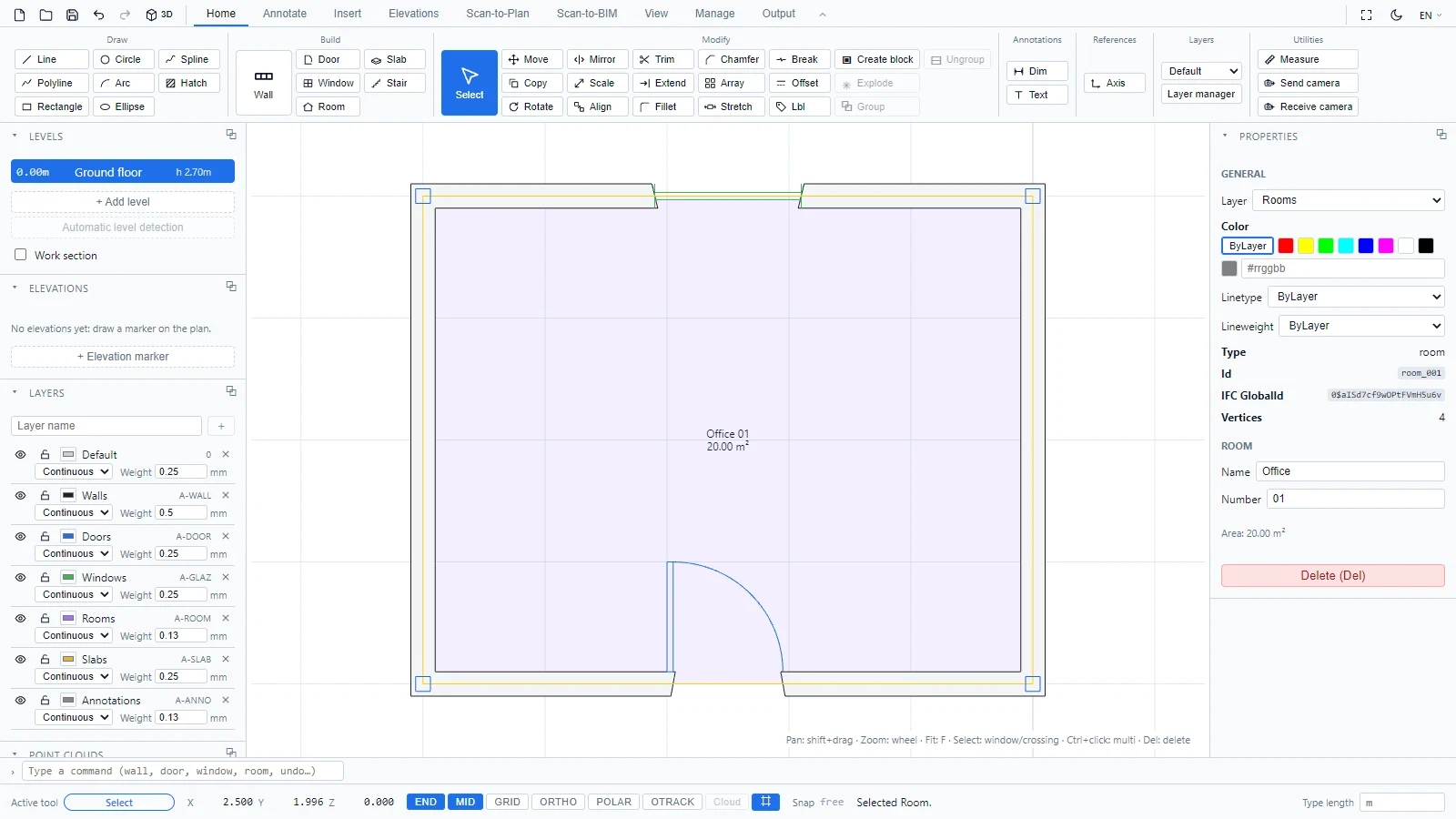
Scan-to-Plan brings the point cloud and the drawing environment together in ATIS.cad. The analysis identifies wall candidates, while you keep control of every decision and complete the plan with familiar 2D tools.
One continuous workflow
From loading the survey to exporting the plan, explore the workflow in five steps.
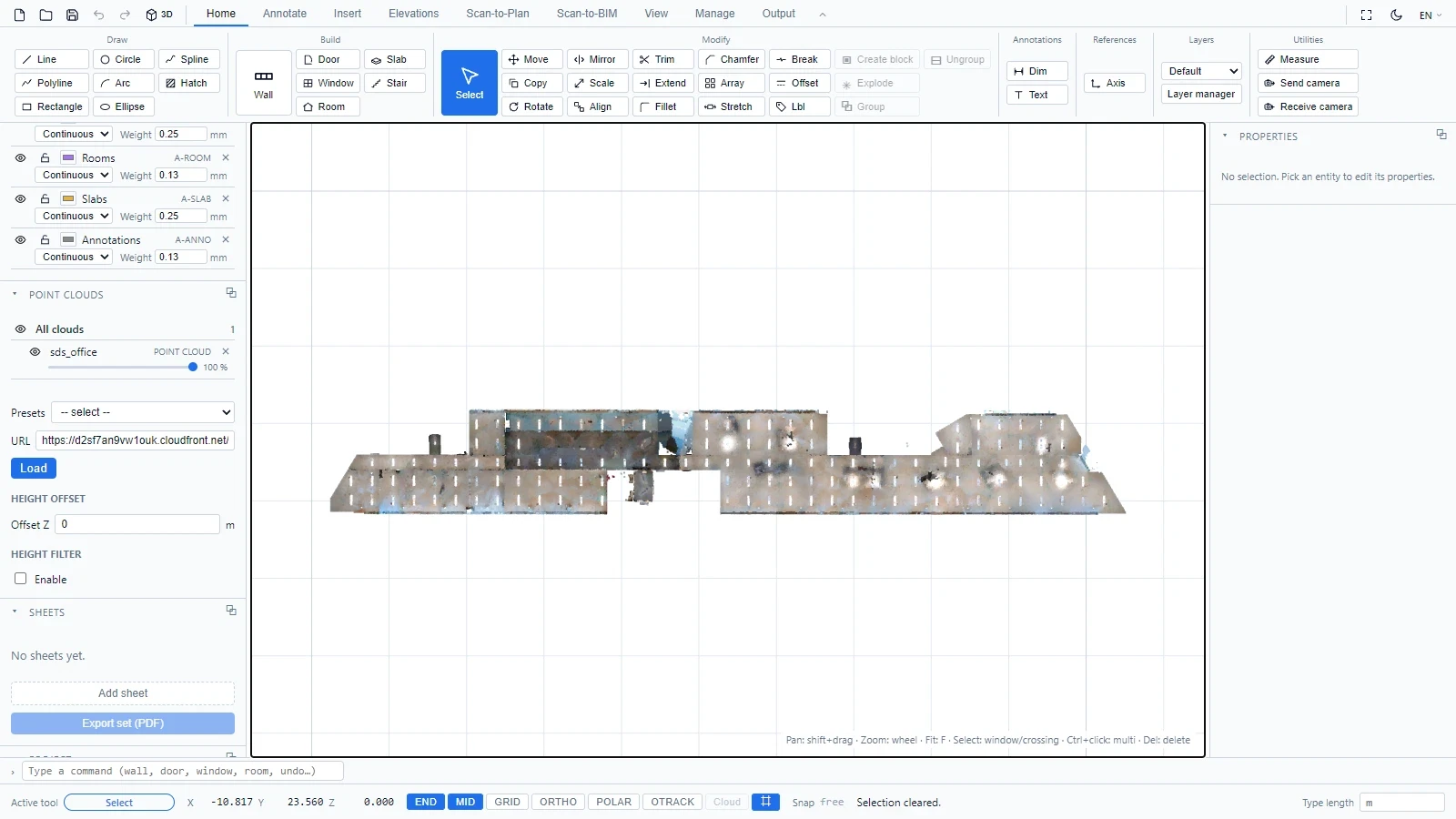
ATIS.cad editor examples. The analysis and guided-review screens are not pictured.
Assisted, not automatic
The analysis returns wall candidates rather than a result you have to accept as-is. Guided review keeps professional judgement at the centre of the workflow.
Built for real surveys
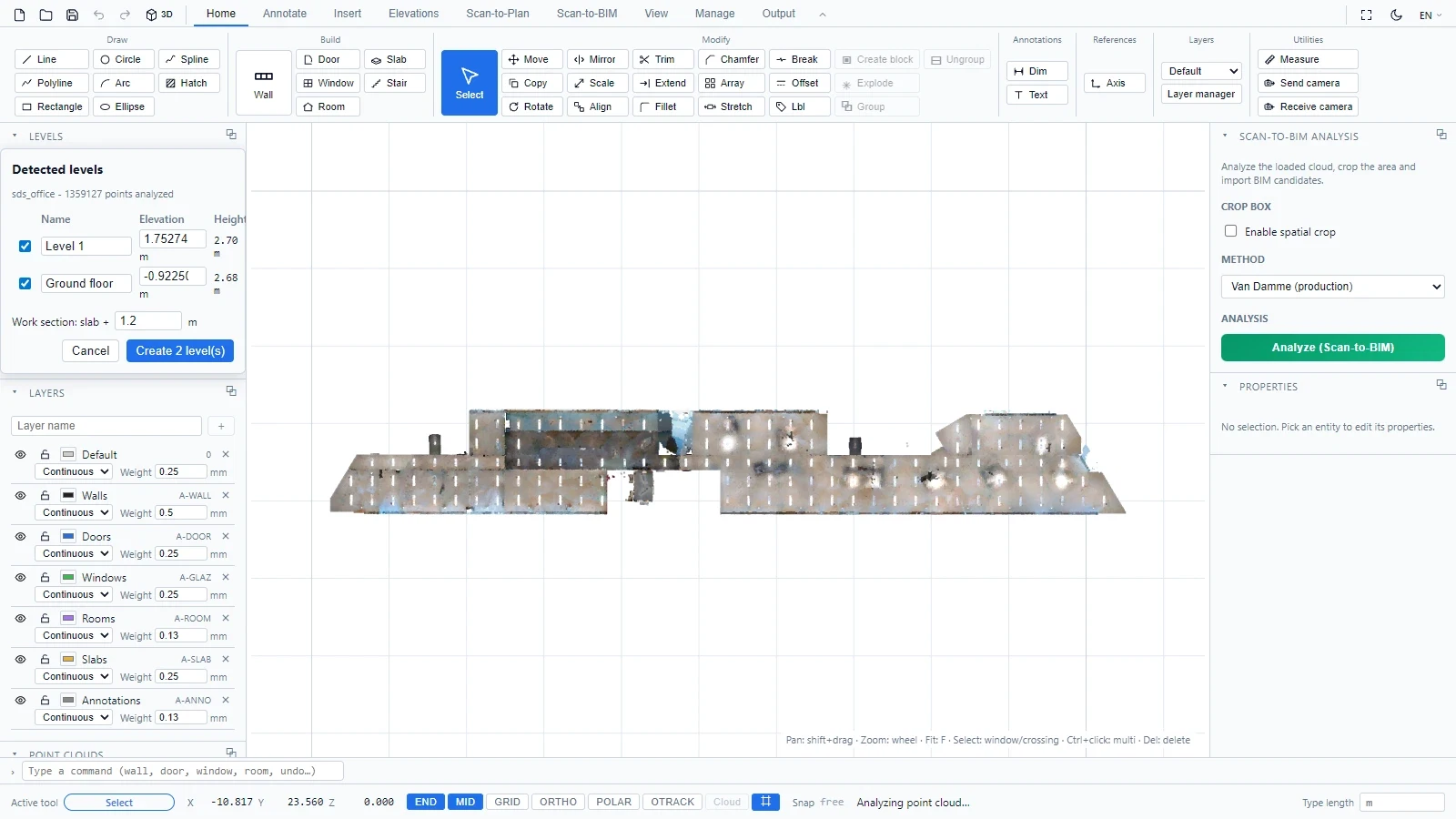
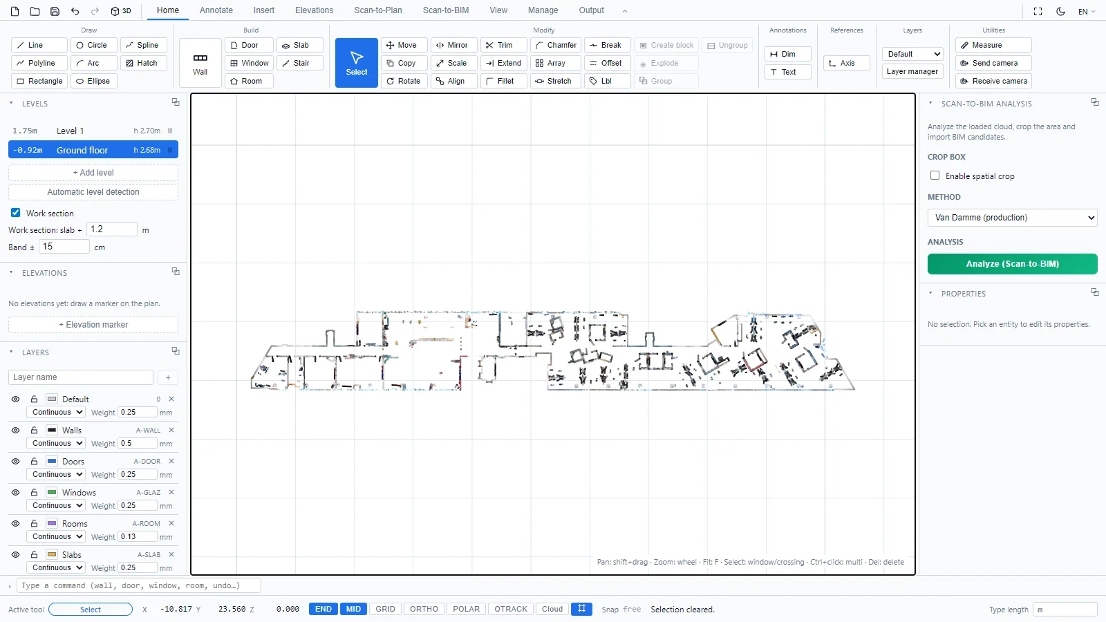
Crop a zone, detect levels from the cloud and create a horizontal work section. Cloud snapping then anchors drawing tools to the nearest measured point for precise tracing.
Professional outputs
Add walls, doors, windows, rooms, dimensions and notes. Export the reviewed result in the format your property workflow needs.
Scaled sheets with title block, room names and area schedules.
DXF
Standard 2D geometry for smooth exchange with CAD software.
DWG
A familiar deliverable when the recipient requires a DWG file.
DXF/DWG exports contain simplified 2D geometry; some BIM data is simplified or omitted.
Possible uses in real estate
01
Create current floor plans from scans of offices, retail spaces and residential assets.
02
Give project teams a reviewed 2D base before design and refurbishment work begins.
03
Prepare floor plans for each property and export documents that teams can share.
Beta programme
ATIS.cad is in early access until the end of November 2026, on request and activated by the team. This is separate from the ATIS.cloud trial. Bring a building survey to test the workflow and share feedback with the team.
Keep working in ATIS.cloud
Questions
Bring a real-estate point cloud and discover the Scan-to-Plan workflow with the ATIS.cloud team.
Drawing time depends on project complexity. Every plan must be reviewed.
Request early accessBeta until the end of November 2026 · Activated by the team